With today’s nice weather and a day off work, I went for a ride around Scarborough. It was a brutal 90 kilometre trek with 681 metres of elevation gain that took me to the northeastern part of the City and back. It helped give me a feel for what is needed to complete a recreational loop east of Victoria Park.

The Taylor Creek Trail was closed, so I then checked out the East Don Trail construction. That trail is currently not paved (and not ideal for road bikes), while I turned back at a bridge which didn’t have any ramps. I look forward to seeing this trail completed soon for a seamless connection to The Meadoway.

The East Don Trail also had this nice mural of Garfield across the river.

I then biked up the West Don Trail which had construction around the Overlea bridge. A Cycling Network Plan motion approved earlier this month included Overlea which will help link Thorncliffe and Flemingdon Parks over the next few years.

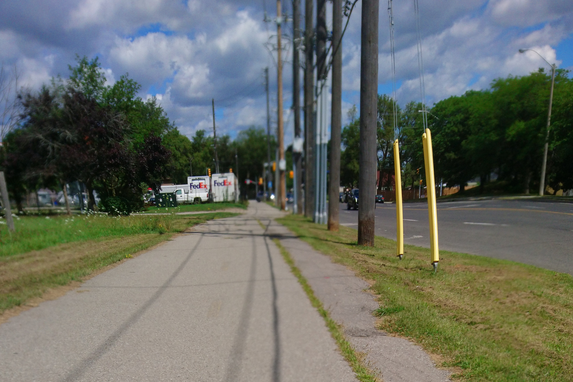
Instead of Taylor Creek, I rode the recently installed Eglinton bike lanes from Leslie to Kennedy Station. The first part was a raised multi-use path until just past the railway bridge.

Painted bike lanes were used starting near the Science Centre LRT station, which are inconsistent with some parts having a painted buffer to fit future barriers and some – like under the Don Valley Parkway – without them. Sadly, this design was done before protected bike lanes became Toronto’s new standard.

At Kennedy Road, I rode on the sidewalk briefly to get to the Gatineau Path which connects with the Gatineau Hydro Corridor (a.k.a. The Meadoway). The City of Toronto should consider installing a bi-directional cycle track from Kennedy to the Gatineau Path to complete this connection.
South of Eglinton, City Council candidate Kevin Rupasinghe proposed building a West Scarborough Railpath to link the Taylor Creek Trail and Gatineau Path. You can sign the petition at this link.
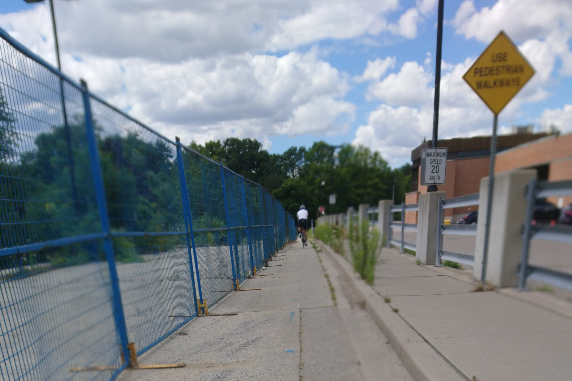
This path leads to a pedestrian bridge crossing the Stouffville Line and SRT corridor which will shut down next year. Going down involved a double switchback which is a bit inconvenient.

Residential streets were used from the bridge to Brimley and Lawrence. There, I was reminded of the Brimley bike lanes which were removed in December 2020. RIP.

Returning on the trail lead to the biggest insult one can imagine; that being ActiveTO signage on The Meadoway. Why would the City label a multi-use trail as a major road closure?

To make matters worse, motorists were driving on this trail to access parking for this weekend’s Scarborough Ribfest. Still, motorists should never be allowed to drive on multi-use trails!

The wayfinding signage at Thompson Memorial Park was poor, so I rode on St. Andrew’s road to resume the trail at McCowan Road.
This part of the trail ends at Ellesmere Road and Military Trail (or Orton Park Road).
A new trail under construction could be seen from the northeast corner. To continue, I rode on Ellesmere which has edge lines to Morningside Avenue. Hopefully, the Durham Scarborough BRT (with cycle tracks) can be built in Toronto soon to fill the gap from Military Trail to Conlins Road.

Conlins has a weird layout north of Ellesmere. The bike lane is placed between the traffic and parking lanes with a buffer between the bike and parking lanes. Why not switch the two to allow for protection?

The cycle track treatment starts at Chartway Boulevard which recently got some new decorated barriers. Toronto East Cyclists is hosting a ride tomorrow to celebrate their installation. Unfortunately, Ontario’s Ministry of Transportation wouldn’t allow the City to install these barriers over Highway 401.

The Gatineau Hydro Corridor resumes after crossing Highway 401 and ends at Meadowvale Road. While the Durham Region Cycling Coalition is campaigning for a Durham Meadoway, the Scarborough Loop should end at Rouge River Drive and Sheppard Avenue. Rouge River and Bald Eagle Avenue can then be used to get on the Scarborough Railpath.

The Scarborough Railpath offers a nice protected route next to Morningside to just before Finch Avenue East. It would be great if this path could be extended all the way to McNicoll Avenue.

A 2.4 kilometre gap exists on McNicoll from Morningside to Middlefield Road before the Finch Hydro Corridor begins. With the land being vacant within the hydro corridor there, why not extend that trail all the way to Morningside? Alternatively, a multi-use path could be considered on McNicoll for this stretch. The same can be said for the 2.1 kilometre gap from Birchmount Road to Victoria Park Avenue.

The Finch Hydro Corridor has some on-street portions along McNicoll from Silver Dart to Kennedy, as well as on Kennedy. While wayfinding signage was mostly decent, there was some confusion at L’Amoreaux Park. However, I noticed the North Scarborough Green Loop turns off just before Birchmount.

Once past Victoria Park, McNicoll is reduced to two lanes which makes it reasonably safe to cross Highway 404 and continue through residential areas to Duncan Creek Park at Don Mills Road.
The Duncan Creek Trail needs some serious wayfinding; especially at the trail junction between Cliffwood Public School and AY Jackson Secondary School. The good news is this trail is a straight shot to where the Don River trail system picks up at Leslie and Steeles.

This part of the Don River trail is also missing signage; especially where it intersects the Finch Hydro Corridor. The part of the Finch Hydro Corridor from the Don River to Yonge Street is the only one I haven’t ridden, but it will have to wait for another time.

Once past the Finch Hydro Corridor, it’s a straight shot back down the Don River, though there was some construction near Sheppard and Leslie. A gap remains from the Don Mills Trail terminus to Wilket Creek Park which needs to be filled in as soon as possible. The path leading to Leslie Street is too narrow given there was moderately heavy usage today.
Aside from the gaps I highlighted, it’s apparent there is potential to establish a cycling loop in Scarborough. It can be added to the main Loop Trail for a 100 kilometre trek. What’s needed is political will from City Hall to get these gaps filled in, as well as fix the wayfinding signage.
No comments:
Post a Comment